| Waveband | 8μm~12μm |
| FOV | 96°x77° |
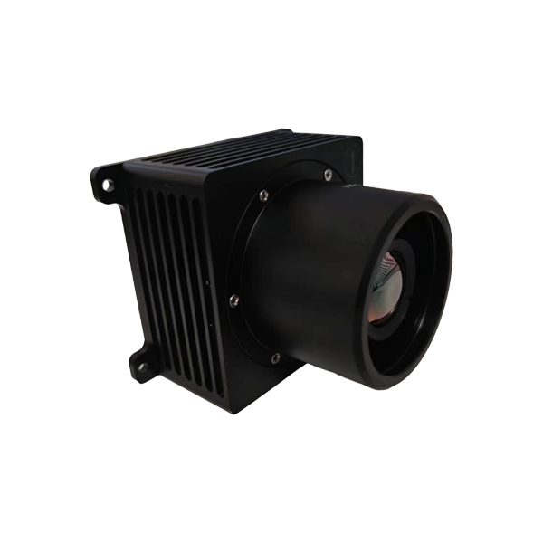
| Size | 80x66x66.8mm |
| Weight | 150g |
| Input Voltage | 8~28V DC |
| Power | ≤ 8W |
| Applicable Altitude Range | 200m~5000m |
| Positional Accuracy | 10m~30m |
| Accompanying Software | AI + High performance algorithms |
| Communication Interface | RS232/RS422/Ethernet Port |
| Applicable Drones | Industrial Drones |